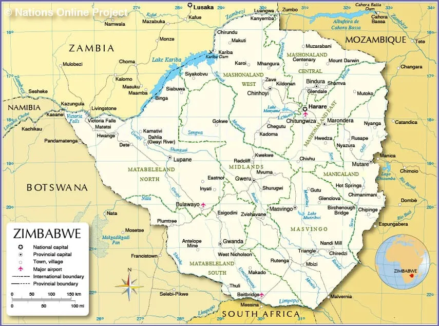
Zimbabwe has ten provinces. Harare and Bulawayo are cities with provincial status; the other eight each have a provincial capital.
| Province | Capital |
|---|---|
| Harare | Harare |
| Bulawayo | Bulawayo |
| Manicaland | Mutare |
| Mashonaland Central | Bindura |
| Mashonaland East | Marondera |
| Mashonaland West | Chinhoyi |
| Masvingo | Masvingo |
| Matabeleland North | Lupane |
| Matabeleland South | Gwanda |
| Midlands | Gweru |
Harare
The capital, known as the Sunshine City, is the seat of government and the country’s business centre.
Mukuvisi Woodlands
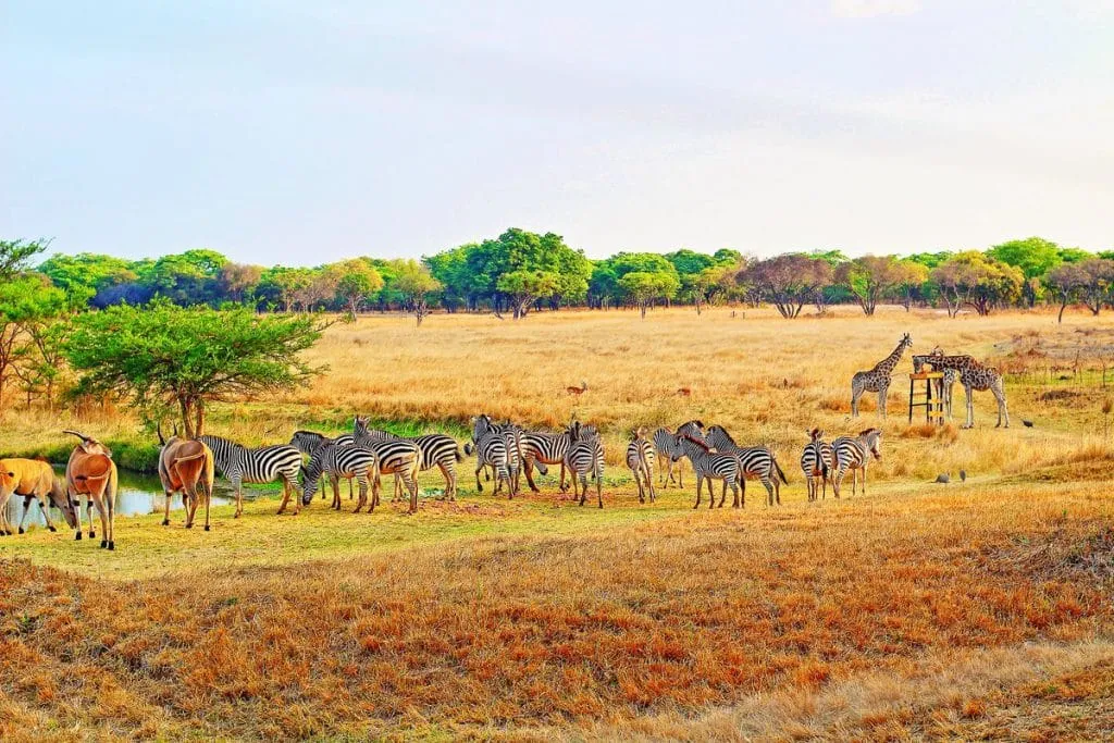
Seven kilometres from the city centre, on Hillside Road, Mukuvisi Woodlands is one of the few large green spaces in Harare open to the public. Zebra, giraffe and antelope roam its woodland, and it runs environmental education for all ages.
Chiremba Balancing Rocks
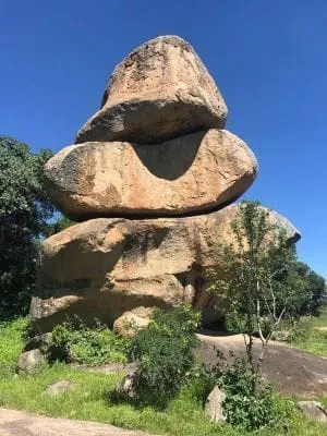
Thirteen kilometres south-east of the city, in Epworth, giant granite boulders stand stacked on one another as if placed by hand. Balancing rocks like these appear all over Zimbabwe.
Lake Chivero Recreational Park
South-west of Harare, the park around Lake Chivero is a haven for white rhino, birds and other wildlife, with rock paintings in its hills. Visitors come for fishing, game viewing, horse riding and canoeing.
Bulawayo
Zimbabwe’s second city, once the capital of the Ndebele kingdom, is the gateway to the Matobo Hills and the south-west.
Khami Ruins
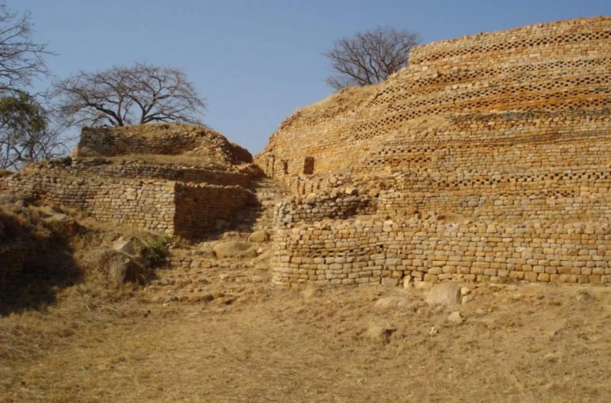
Khami, 22 kilometres west of Bulawayo, was the capital of the Torwa state after the decline of Great Zimbabwe. Its terraced stone platforms are richly decorated, and it is a UNESCO World Heritage Site.
Bulawayo Railway Museum
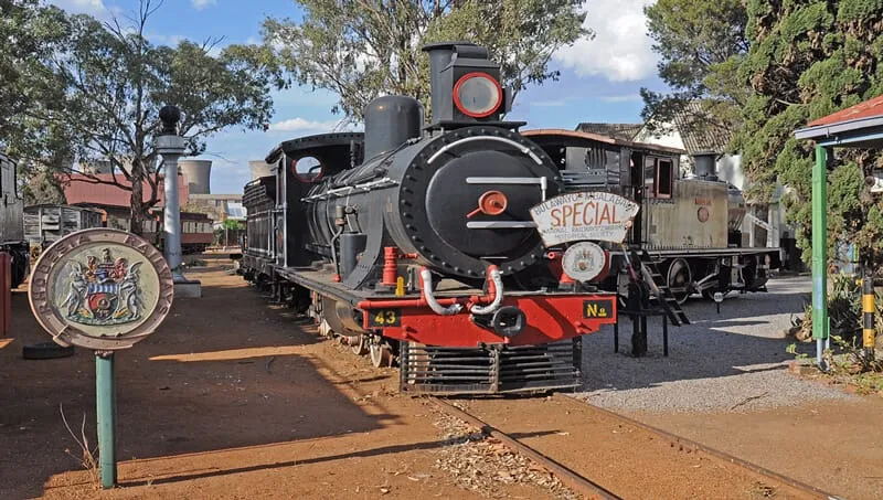
Behind Bulawayo station, the museum of the National Railways of Zimbabwe shows steam and diesel locomotives, carriages and models, some dating back to the 1890s.
Manicaland
The Eastern Highlands, on the border with Mozambique, are a land of mountains, pine forests, trout streams and cool air.
Mount Nyangani
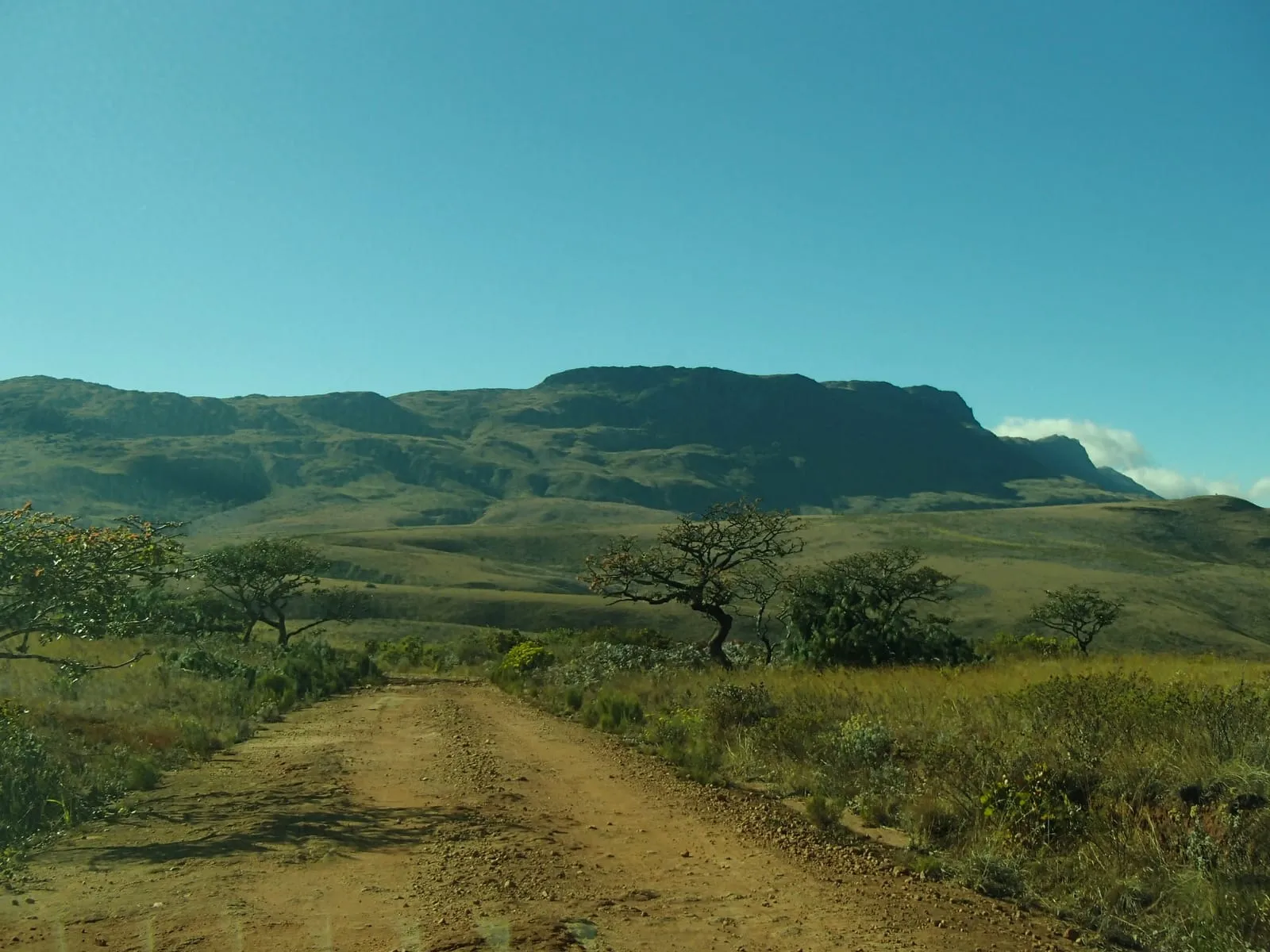
At 2,592 metres, Mount Nyangani in Nyanga National Park is the highest mountain in Zimbabwe.
Mutarazi Falls
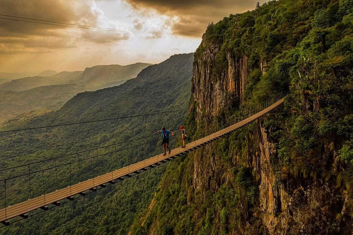
In Mutarazi Falls National Park, next to Nyanga, the Mutarazi river drops 772 metres, making it the highest waterfall in Zimbabwe. A skywalk and zip line cross the gorge beside it.
Mashonaland Central
North of Harare, the province reaches down the Zambezi escarpment to the Zambezi valley.
Mavuradonha Wilderness
The Mavuradonha mountains, near Muzarabani, are a rugged wilderness area of the Zambezi escarpment, with walking trails, wildlife and rock art.
Mashonaland East
East of Harare, the province stretches to the Mozambican border.
Domboshava
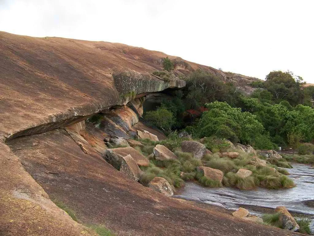
About 30 kilometres north of Harare, the granite hill of Domboshava gives a 360-degree view of the countryside. Its caves hold San rock paintings.
Imire
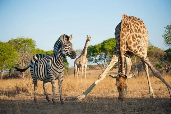
East of Harare, Imire is a conservancy known for its work protecting rhino and elephant. Visitors can stay at its lodge or volunteer with the animals.
Tsindi Ruins
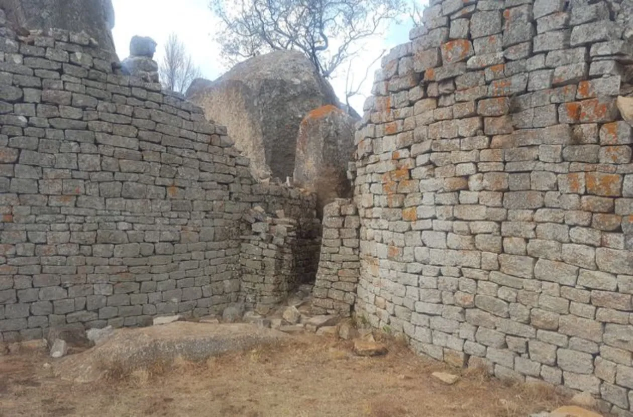
Near Marondera, Tsindi is a dry-stone settlement in the Great Zimbabwe tradition, built from the 13th century and once the home of a local ruler.
Mashonaland West
North-west of Harare, the province runs to the Zambezi and Lake Kariba.
Chinhoyi Caves
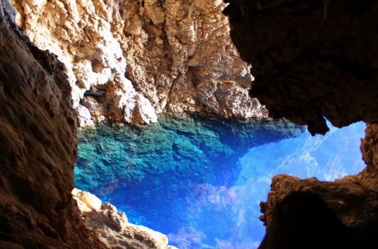
The caves’ Sleeping Pool is unbelievably blue and clear. Its Shona name, Chirorodziva, means “pool of the fallen”. Divers come to explore its depths.
Lake Kariba
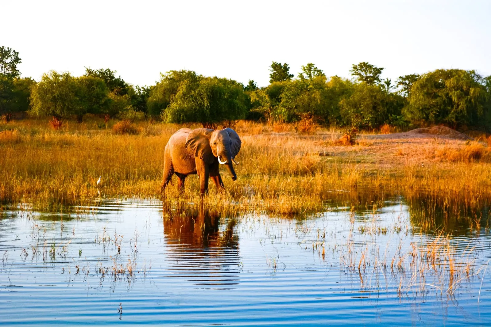
One of the largest man-made lakes in the world, Lake Kariba was formed when the Kariba Dam was built on the Zambezi. Visitors come for game viewing, tiger fishing and boat cruises.
Mana Pools National Park
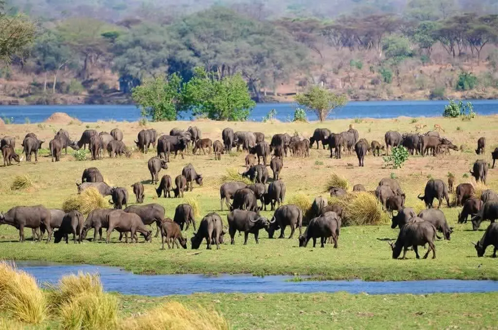
Mana Pools, on the Zambezi, is a UNESCO World Heritage Site and one of Africa’s finest parks. Elephant, buffalo, hippo and crocodile gather on the river in the dry season, from June to October. Walking and canoe safaris are a speciality.
Masvingo
The south-east, home to Great Zimbabwe and some of the country’s wildest parks.
Great Zimbabwe
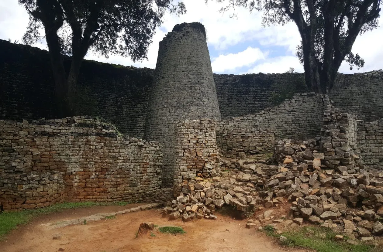
The ruins of the stone city that gave Zimbabwe its name were the capital of the Kingdom of Zimbabwe from the 11th to the 15th century. Its walls, some more than five metres high, were built without mortar. It is a UNESCO World Heritage Site.
Lake Mutirikwi
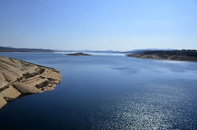
Near Great Zimbabwe, the recreational park around Lake Mutirikwi, formerly Lake Kyle, is home to white rhino. Game is best seen on horseback.
Gonarezhou National Park
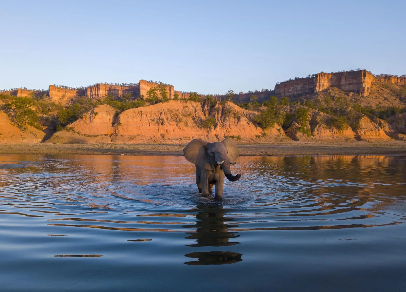
Gonarezhou means “place of many elephants”. The park’s rugged landscapes, rivers and red sandstone cliffs make it one of the most beautiful in Zimbabwe.
Matabeleland North
The north-west, from Victoria Falls to Hwange.
Victoria Falls
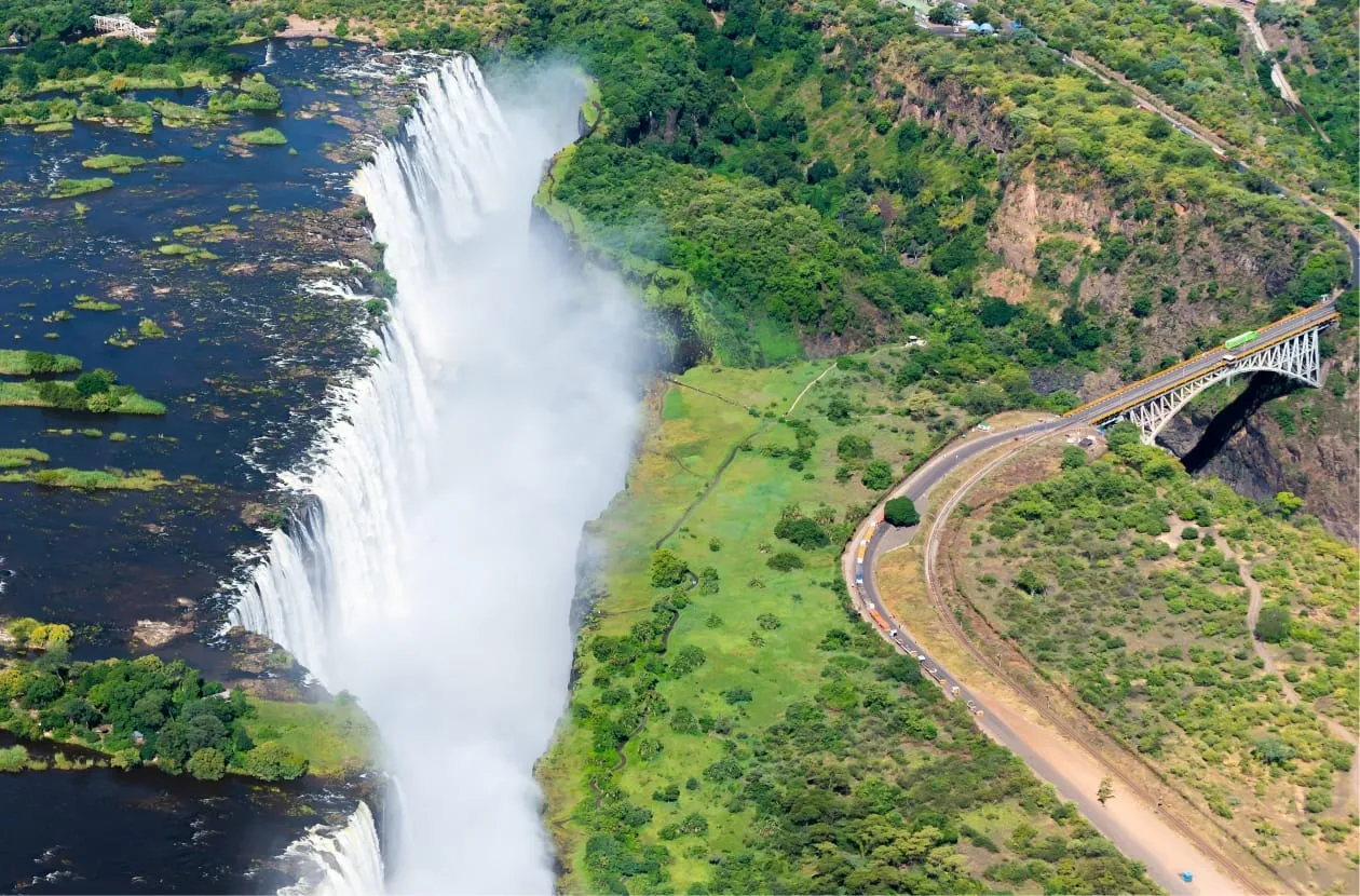
Known locally as Mosi-oa-Tunya, “the smoke that thunders”, Victoria Falls is the largest single curtain of falling water in the world. Much of the best view is from the Zimbabwean side, through the rain forest kept green by the spray. It is a UNESCO World Heritage Site, shared with Zambia.
Hwange National Park
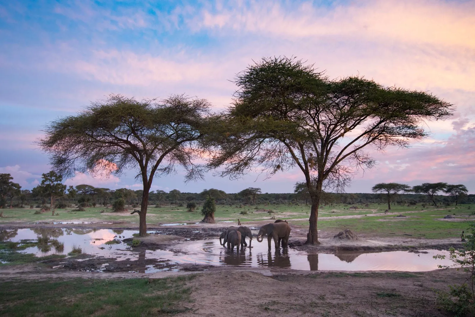
Zimbabwe’s largest national park is famous for its elephants, which gather at the waterholes in the dry season, and for the Big Five. From November to April, migrating birds return from Europe and North Africa.
Matabeleland South
The south-west, towards Botswana and South Africa.
Matobo National Park
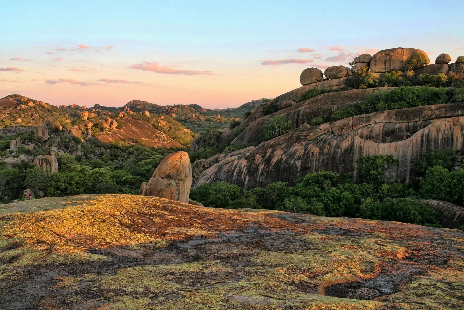
The Matobo Hills, south of Bulawayo, are a landscape of red-tinged granite domes and balancing rocks with one of the richest collections of rock art in southern Africa. They are a UNESCO World Heritage Site and a dream for hikers and climbers.
Midlands
The centre of the country, around Gweru.
Antelope Park
Near Gweru, Antelope Park is a game park known for its lion conservation programme, with game drives, horseback safaris and bush walks.
Naletale Ruins
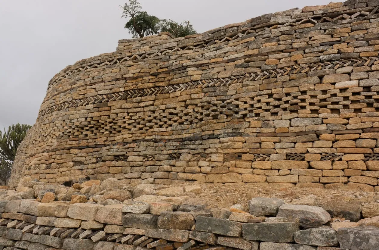
The wall at Naletale is one of the most decorated in the Great Zimbabwe tradition, with chevron, herringbone, chequer and cord patterns in its stonework.
Zimbabwe Military Museum
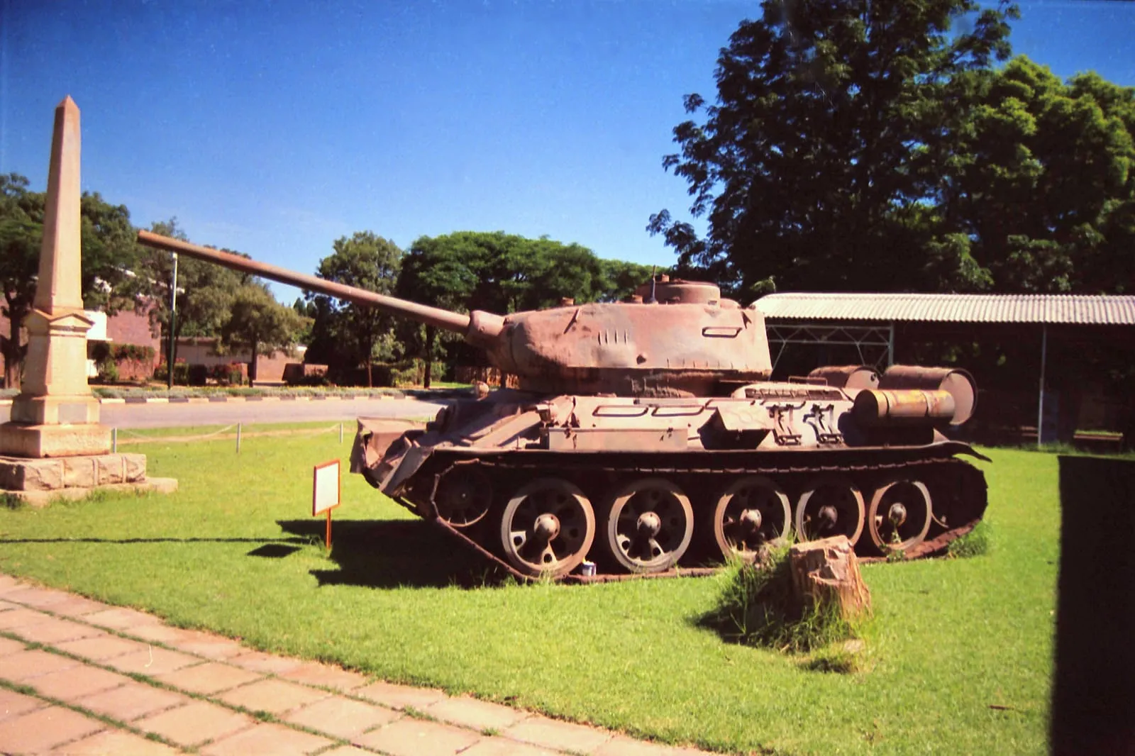
In Gweru, the only museum of its kind in Zimbabwe tells the story of the army, air force and police, from the 16th century to the liberation war.